Garmap and Tools

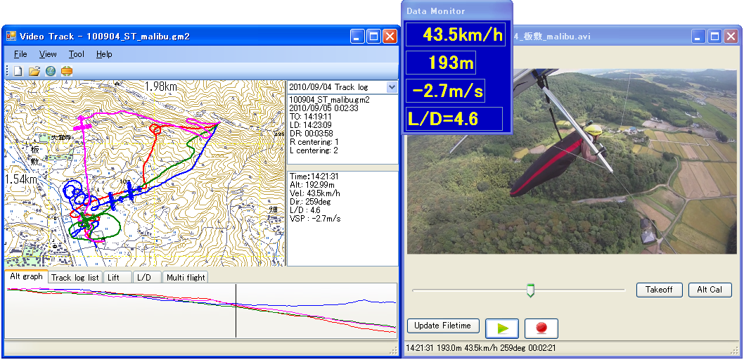
VideoTrack 22.Sep.2012 |
This program displays tracks in synchronization with the corresponding video. VideoTrack requires Microsoft .NET framework 3.5 or newer. Download from evaluation program page. |
|
Garmap2 |
Version 1.27 / 13.Sep.2008 1. Supported IGC (import/export) and KML(export only) file format.
(see information kml file and GoogleEarth) Download archive including Windows Installer
(4.5MB) |
| Garmap Win | Version 1.19 / 22.Oct.2000 Bug Fix and Minor change. |
|
New feature - Number of plotting track point is got from registry. Version 1.80 / 16.May.2009 Support GPSmap60Cx. Notice:
|
|
|
Version 1.40 / 27.Feb.2007 Add new feature to show NMEA0183 sentence. |
|
| Program to translate color bitmap files to 2bp bitmap files. | |
| bmpdiv | 20.Apl.2001 Program to make a map data for Garmap CE. |
|
|
2001.03.31 Garmap CE is compiled using latest compiler. |
Copyright(C) 1999-2012 Fukuro All rights reserved.